Dangerous interstates, highways, roads, intersections – where car accidents happen in Florida
Car accidents can happen anywhere, at any time – but some places in Florida just seem to have worse luck than others.
Florida is famous for its dangerous roads; that’s part of the reason why so many personal injury attorneys have billboards plastered along the highways. It’s just good business sense.
The Sunshine State has the not-so-honorable distinction of housing the most dangerous highways in the country, as well as several of the lesser – though still considerably hazardous – streets.
Let’s take a look and see what they are, so maybe you can pick a road less traveled on your next journey.
Dangerous Florida highways
- Florida Turnpike: This is also known as the Sunshine State Parkway and the Ronald Reagan Turnpike. It travels through 11 counties in Florida. Fast drivers, road debris and vacationers make this interstate somewhat treacherous to travel, though it’s the friendliest to drivers on our list. Drive early enough in the day and you should be fine. The Florida Department of Highway Safety and Motor Vehicles instituted a “Stay Right at Night” campaign in hopes of minimizing wrong-way driving crashes.
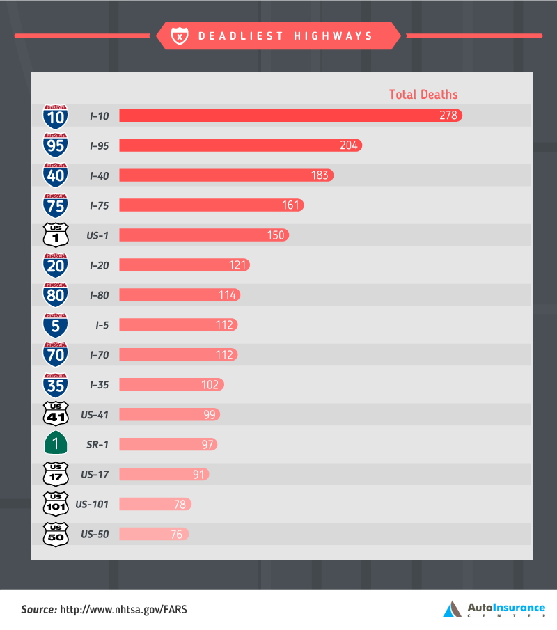
- Interstate 95: The I-95 corridor runs along the Atlantic coast for 1,040 miles of its 1,926 stretch through 15 states, and it is incredibly congested for approximately 60% of its length. It can contain up to 300,000 vehicles daily. The stretch through Miami-Dade and Broward is considered particularly dangerous, with 1.73 fatal accidents per mile. This is mainly because of distracted driving, such as drivers using their cell phones or navigation systems.
- Interstate 4: This is colloquially known as the “Haunted Highway” to Floridians, which is both the coolest and most unfortunate name ever. I-4 is the busiest interstate in the entire country and also named as the most dangerous, based on fatalities per mile. The story goes that this interstate is haunted by a cluster of pioneering graves buried underneath a stretch of highway. The ghosts of a Yellow Fever epidemic allegedly cause radio and cellphone interference, as well as a number of car accidents.However, it’s far more likely caused by the increase in those killed by distracted driving. (Florida is the number-one state for distracted driving, and police can’t pull over drivers for this secondary offense unless they are committing a more serious crime.)
- Interstate 10: I-10 is the fourth-longest highway in the country, running 2,460 miles through eight states. The reason for most accidents on this interstate is because of the lack of barriers; this leads to many crossover crashes because people unexpectedly decide to cross several lanes at once.
Central Florida’s scary roads
Central Florida recently earned the distinction of being the most pedestrian-unfriendly place in America.
The following stretches of roads were compiled by citizens who are trying to get politicians to put up barriers, lights, medians and crosswalks:
- State Road 436 (Semoran Boulevard) from Cheney Highway to State Road 50: Cars drive at more than 45 miles per hour in a stretch with no medians and scant crosswalks. Bus riders are stranded on the concrete between lights, but nearby grocery stores and shops make it a popular area for intrepid walkers. Seems a bit counterintuitive in terms of urban planning, no?
- Orange Avenue (State Road 527) from Gore Street to Kaley Street: This four-lane stretch is home to Orlando Regional Medical Center as well as many retail stores. It has a posted speed limit of 35 miles per hour, which many drivers ignore. Getting across those four lanes is like playing “Frogger,” and it’s lucky that the medical center is right there. It’s like they’re drumming up business during their lunch hour.
- State Road 436 and Howell Branch Road: This stretch has eight lanes of traffic. Eight lanes of traffic. How are you supposed to get across eight lanes of traffic during one pass of the crosswalk signal? It’s impossible. You might as well sprint across those lanes.
- Kirkland Road from the Florida Turnpike’s Overpass to Vineland Road: This area boasts retail shops, hotels and restaurants. Sounds like a great place for crosswalks, right? Wouldn’t that be a great idea? Make sure to tell the urban planners, because there aren’t any. Pedestrians darting into traffic can make things tricky for drivers, and vice versa.
- State Road 436 in Altamonte Springs from Northlake Boulevard to Palm Springs Drive: Here we have another eight-lane mess. There’s also a nearby SunRail stop, but it will never succeed as long as drivers are constantly exceeding the 45-mile per hour speed limit and not leaving room for pedestrians.
- S. 17/92 in Sanford from Park Drive to 1st Street: This goes right through downtown Sanford and has sidewalks – which is the bare minimum. There are no crosswalks. Cars barrel down the street at ridiculously fast speeds. Pedestrians are not welcome.
- Aloma Avenue (S.R. 426) from Lakemont Avenue to S.R. 417: This runs from Winter Park to the Greenway. There are no lights. Many fatalities happen after dark to pedestrians and drivers alike, and headlights aren’t going to cut it. Meanwhile, a cell phone isn’t going to light the way home.
South Florida – you knew this was coming!
Speaking of urban planning, South Florida might top the list for “most terrible urban planning of all time.”
Intersections are clogged, traffic jams abound and commutes are insanely long. Wherever there are traffic jams, there are car accidents. Check out this list for the worst of the worst:
- Midtown Miami: NE Second Avenue and 36th Street: As cars try to turn left onto the eastbound 36th Street, they back up across the intersection, blocking north-bound traffic and pluming the air with exhaust. Other traffic is trying to merge on and off the Julia Tuttle Causeway to Miami Beach. Meanwhile, there are working railroad tracks nearby, so then you get to add trains to the mix. The stoplight fails to control this boiling mass of steel and utter rage.
- West Kendall: SW 117th Avenue and Kendall Drive: Some drivers actually have a three-hour commute in this area and consider it to be normal. The Kendall Federation of Homeowners Associations demanded a moratorium of new homebuilding in the area until the traffic situation was fixed.
- Coconut Grove/Coral Gables: South Dixie Highway at every intersection south of I-95: Apparently, no matter what time of day it is, South Dixie is terrible – infuriating – gridlock. Meanwhile, the Metrorail runs parallel to the road, which serves as a reminder that there isn’t an effective mass transit system to relieve the congested highways.
- South Miami-Dade: SW 117th Avenue and 152nd Street: It’s almost impossible to figure out where you are, and by the time you have, you’ve missed your turn. It’s the second-most-dangerous intersection in Miami-Dade as of 2014, and drivers seem to rely on a Magic 8 ball to determine where they’re going.
- Fort Lauderdale: A1A and Las Olas Boulevard: You have pedestrians, tourists, cyclists and “Walk” signs that are taken as laughable suggestions. There’s also a lovely 5 mph stretch, as well as a drawbridge that might be up half the time. But a drawbridge means there’s water, and water means there’s a view, so you’ve got that going for you, which is nice! (Although don’t forget to look at the road!)
- South Beach: Alton Road and Dade Boulevard: If you take your eyes off the road for one second, you might hit someone. Literally one second. There are so many jaywalking tourists here, which isn’t necessarily their fault because there are so few places to walk. There are also other drivers to worry about, as traffic backs up to the Julia Tuttle Causeway one way and South Beach in the other.
- Doral: NW 87th and 36th Streets: Traffic can stand still here at 11 am on a weekday. People can listen to an entire album while waiting to drive through. There are so many angry, rage-induced drivers that this intersection is notorious for setting Twitter on fire whenever there’s a jam. It is also highly dangerous for pedestrians and motorists alike.
- Brickell: The Brickell Avenue Bridge: Who designed this? It’s an Escher painting full of right angles. City planners installed an on-ramp at a 90-degree angle that then goes back in the opposite direction to get onto the drawbridge. The intersection comes to a halt whenever a boat needs to travel the Miami River to Biscayne Bay, which usually happens during rush hour on weekdays. The I-95 ramp is also thrown in there as well, which means that a car has to bravely nudge its way through four lanes of non-moving traffic to reach its destination.
- Downtown Miami: NE First Avenue and NE Sixth Street: According to the Miami-Dade Department of Transit and Public Works, this is actually the most dangerous intersection in the entire country. This accounts for both frequency of crashes and the severity of accidents. This is where two multilane one-way streets intersect. NE Sixth Street connects to I-95 here and heads west. Pedestrians will cross the street without regard for those heading north along First Avenue, and apparently native Miamians will make unsignaled lane changes for their highway exit.
- Pembroke Pines: Pines Boulevard and South Flamingo Road: Insurance companies apparently hate this intersection and call it one of the most dangerous in the entire world. There are eight lanes of traffic on Pines and six on Flamingo, plus dual turn lanes in all four directions. Take the scenic route and skip this one.
North Florida and risky places for car accidents
For whatever reason, it’s harder to find specific information about North Florida’s risky roads. However, we were able to find the following data:
- S. 98: The first result on Google for this is “Bloody 98.” We’re not joking. Apparently, this arterial road is considered a design failure and a pedestrian hazard. This road had the highest number of pedestrian fatalities, according to a study conducted by Smart Growth America.
- S. 90: The NTHSA Fatality Analysis Reporting System stated that U.S. 90 is among the most dangerous roads in the northern part of the state. This statistic is based on accidents per 100 miles. It passes through 15 counties lengthwise west to east, and most of the county courthouses are located on this stretch of highway. Coincidence?
- S. 29: This tiny highway in Escambia County is in the westernmost part of the state and runs north to south for 43 miles. Most of it is a four-lane highway, though parts of it become six, which probably contributes to its accidents per 100 miles.
Dangerous roads are such a problem in Florida that attorneys even specialize in it as a practice area. See Lorenzo & Lorenzo’s page on cases involving poor road conditions in Tampa.
Do you live in Florida and have a dangerous road story to share with us? Drop us a note in the comments below!